
Millcreek Neighbor Sources
A neighbor lookup has a narrower purpose than a whole-street directory. Begin with the subject parcel, click the surrounding polygons, and record the source and date for each result. The county map shows land and parcel relationships. The Assessor detail can show an owner, situs, mailing or tax clue, and property characteristics. A voter file may support public registration research, but an ordinary status form is self-oriented and At-Risk records are protected.
| Source | What it shows about a block | Access |
|---|---|---|
| Assessor block prefix | Parcels, owners, situs, values, characteristics | Free web, counter, phone |
| County GIS Parcel Viewer | Adjacent geometry, tax district, selected parcels | Free query, select, export, print |
| Recorder plats | Lots, blocks, subdivisions, address legends | Public search/Data Services |
| Recorder deeds and liens | Parcel-by-parcel ownership chronology | Index, Data Services, paid copies |
| Voter file | Public registration fields and precinct context | State/county request, rules and fee |
| Millcreek permits and code | Project, inspection, concern, status clues | Dynamic portal; GRAMA limits |
| Polk pink pages | Past occupants at each address after 1924 | Historical Society/library |
| Community areas | Area identity, agendas, elections, recommendations | City calendar/news; transitional |
These sources are not a roster. A parcel owner can be an LLC or trust. A mailing address can be outside Millcreek. A historical directory entry is dated. The safest neighbor lookup keeps those limits visible.
Map Millcreek Parcels
The Salt Lake County Parcel Viewer documents query controls for parcel number, owner, property type, and tax district. Click the known parcel for details, drag to pan, use Shift-click to recenter, and zoom with Shift-drag, the mouse wheel, plus/minus, or arrows. Layers can be toggled, made transparent, or limited by scale. EagleView oblique imagery, four-direction views, Street View, and printable PDF tools add context.
There is no documented radius button in the research. Use the Select Tool to draw a small shape over the block, then export selected parcels if needed. For each polygon, save parcel ID, site address, owner detail, and tax district. The older interface notes a first-1,000-results limit. The Millcreek maps hub is a fallback for boundary and historic-parcel orientation.
- Search the subject address or parcel.
- Click adjacent parcels and record the selected details.
- Compare each situs with its mailing or tax address.
- Use a plat when a shared number or changed street makes the map unclear.
- Move to a deed or permit only when the question needs that record.
This is a map-based process, not a promise of every household around the address.
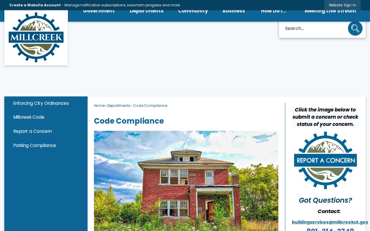
The Millcreek Code Compliance page shows how address-linked concerns are reported and why some information may be public under GRAMA.
Millcreek Situs and Mailing Clues
The Assessor's site or situs address is the physical land location. The mailing or tax address is where correspondence goes. In a block neighbor search, those fields can diverge for an absentee owner, trust, business, or owner with several parcels. The owner-occupied flag is an assessment classification, not proof of every person at the home.
Use the Recorder for legal descriptions, grantor and grantee names, deeds, liens, plats, and the chain of title. Public Search is free, while Data Services provides deeper owner history and document access for $5 of 24-hour access or a package. Copies are $2 per page, historical copies $5 per page, and certification adds $5 plus the page fee. A recorded owner is not the same as a complete neighbor list.
- Parcel
- A mapped unit of land.
- Situs
- The physical address of that parcel.
- Mailing address
- The tax or owner correspondence address.
- Adjacent parcel
- Land that touches or sits beside the selected parcel on the map.
Millcreek Community Areas
Millcreek materials identify four historic community-council areas: Millcreek Community Council, East Mill Creek Community Council, Canyon Rim Citizens Association, and Mt. Olympus Community Council. A July 2024 city newsletter used the groups as neighborhood representatives and links between residents and city government. These names can help interpret a block's local identity, but they are not a public household directory.
Millcreek
Historic community area; use city calendars and news for dated civic records.
East Mill Creek
Older neighborhood name that also appears in resident and land research.
Canyon Rim
Community identity and former CDP context; boundaries are not current legal districts.
Mt. Olympus
Foothill-area name; check current city sources before using any roster.
A 2025 council letter said the State Ombudsman found the quasi-governmental arrangement inconsistent with open-meeting law. The city planned to repeal Chapter 2.56 and sever the formal relationship beginning January 1, 2026. Directory status is therefore transitional. Use agendas, news, and the organization's current public contact channel rather than promising a current elected or member roll.
Millcreek Voter Data
Utah voter records have public and protected layers. Public fields may include legal name, voter ID, physical and mailing address, age range, party, precinct, district, active or inactive status, last update, and elections voted. Full date of birth, driver or state ID, Social Security number, phone, and email are protected. At-Risk records can be withheld or anonymized for victims, law enforcement, protected-order subjects, armed-forces members, public figures, and people living with one.
The voter-status form takes first name, last name, DOB, street address, city, and ZIP for a self check. A statewide voter file includes residential address and districts, costs $1,050 once, and an election file costs $35 per election. Public access is governed by Utah Code 20A-2-104, 20A-2-607, and GRAMA classifications. No ordinary street scan should be implied.
Millcreek Permits and Code
Millcreek's Building Department links permit status and inspection reports through an external portal. Permit records can contain project address, permit type, status, inspector, plans, owner-builder information, contractor details, or the latest inspection report. Initial plan review may take 14 business days. The city lists Building, Planning, Public Works, and Special Events categories, including subdivision, lot consolidation, lot-line adjustment, excavation, and variance work.
Code Compliance assigns areas and accepts an online report-a-concern form. The city warns that those reports may be public under Utah Code 63G-2, while caller identity or protected information may be redacted. These records describe a property or civic action. They do not create a list of people who live nearby.
Millcreek Neighbor Tools
Official sources and commercial data compilations serve different purposes. County maps, deeds, voter files, permits, and historical books have named custodians and stated limits. Paid data tools may merge public records, marketing feeds, and old addresses. They can be stale, duplicated, wrongly merged, or unable to reveal protected occupants. An opt-out from a commercial compiler does not erase the underlying county or court record.
| Question | Official route | What remains uncertain |
|---|---|---|
| Who owns the parcel? | Assessor and Recorder | Actual occupants and current presence |
| Who registered to vote? | Utah Elections rules | At-Risk and protected people |
| Who was at the address before? | Polk pink pages, census, newspapers | Missing years and spelling gaps |
| What changed on the lot? | Permits, plats, GIS, code records | Redacted or dynamic records |
The official route is slower when a portal is dynamic, but it gives a better source trail. Verify a material fact with the custodian.
Millcreek Neighbor Privacy
Public records do not include every household member, renter, utility customer, delivery record, or DMV address. The federal DPPA restricts DMV data. Utah Safe at Home provides a substitute address and mail forwarding for qualifying survivors of abuse, stalking, sexual assault, trafficking, and related threats. The actual home, mailing address, precinct, phone, and unique location identifiers remain confidential.
Lawful neighbor research. Use a Millcreek block lookup for personal safety awareness, family history, civic curiosity, or ordinary neighborhood knowledge. Do not use it to stalk, harass, monitor, intimidate, or harm anyone.
For a missing city, county, or state record, make a specific GRAMA request under Utah Code Title 63G, Chapter 2. Include name, mailing address, phone if available, and the existing record sought. Use the Open Records Portal, email, fax, mail, or in person. The normal response is within 10 business days, with a five-day public-benefit path where qualified.
When Millcreek Blocks Become Streets
If the question expands from adjacent parcels to every address on a named road, use the Millcreek by-street walkthrough. That page owns the whole street chain, including assessor fields, GIS selection, deeds, permits, voter limits, and historical address records. Keep the neighbor lookup focused on the immediate block and community layer.
For an old block, Polk directories after 1924, Sanborn maps, census schedules, county deaths, probate, and historic tax records can add time depth. Older labels such as East Mill Creek, Canyon Rim, Mount Olympus, and Salt Lake County may describe the same land before city incorporation. Date every result and preserve the difference between a parcel, a household, and a civic area.
Map work can also begin at the Millcreek maps hub, the Salt Lake County GIS page, or the Utah voter lookup. Use each source for the fact it actually keeps.
A block lookup should preserve the boundary that produced it. Millcreek stretches from the Jordan River toward Millcreek Canyon and touches Salt Lake City, Murray, and Holladay. Older records may call the same area East Mill Creek, Canyon Rim, Mount Olympus, or Salt Lake County. A parcel selected in the county viewer is a land unit; a community area is a historical or civic description; a voter precinct is an election boundary. These are useful together, but they are not interchangeable.
For a current neighborhood question, begin with one confirmed situs address and record its parcel ID. Select the parcel in GIS, inspect the adjacent parcels, and copy each parcel's owner or address field only as the source presents it. Then compare a second parcel against the Assessor or Recorder. If a code case or permit is relevant, use Millcreek's code and building channels for that case, not a parcel owner field as a substitute. This produces a short, dated block list instead of an unsupported claim about every household nearby.
Utah voter information has its own access limits. The self-status search is for the voter, while a full voter file is a paid request with public, private, and At-Risk classifications. Protected voters may be anonymized, and a registration record still does not prove that every person at a parcel lives there. A GRAMA request can ask for an existing public record when an agency has not posted it, but the request should identify the custodian and the record with reasonable specificity.
Millcreek's community layer is useful when it stays separate from the parcel layer. Historic areas such as East Mill Creek, Canyon Rim, Millcreek, and Mount Olympus can guide a library or neighborhood-history search. The County Library, Utah Historical Society, city meeting and code records, and local maps can supply context, while the parcel viewer supplies geometry. A neighbor search is strongest when it tells the reader which source supports which fact and includes the date of each check.